Understanding mountain navigation and how we coach it.
Nothing about mountain navigation is rocket science. Then again it is not a god given talent either. It does though require both a good understanding and the right approach to deal with the worst conditions in the mountains.
Using features on the map
In good conditions with good visibility you can quite successfully navigate without reaching for your compass. Neither will you need to resort to the “dead reckoning” techniques of timing and pacing to gauge your distance. By relating the features on the map to those on the ground you can safely get to your destination. Some of those features will be man-made like field boundaries. Other more obvious natural features include streams or ponds or lakes. But many of those features, especially in Scotland, will be made up of a combination of a change in gradient and a change in slope aspect (which way the slope faces).
Take a little rounded hill (knoll) for instance: as you rise up onto it the gradient will increase before flattening out on the summit.The gradient then increases again as you drop down the other side. It will be shallower again at the bottom. If you were to walk around its flanks you would continually experience a change in slope aspect. If we think about other features like ridges, spurs, valleys, gullies, saddles, etc, they’re all a combination of changing gradient and slope aspect. Both slope aspect and gradient are indicated by contour lines.
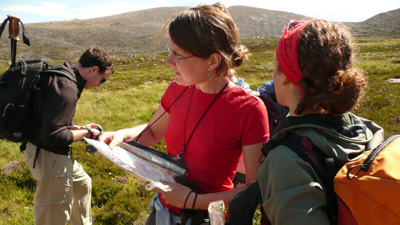
Map reading in the Cairngorms
Managing error
Accuracy in a particular skill is important. However the key aspect of accurate Mountain Navigation is your ability to manage error. It’s a fatal mistake rely too much on the absolute accuracy of a few skills. Don’t ignore the importance of applying techniques or strategies that reduce or negate the effect of error. If we think how most folks get lost on the mountains it’s when they are trying to navigate to a point beyond their range of visibility. One strategy is to keep your navigational legs short. A 10% error in distance or direction over 2 km will be 4 times that over 500m. But if we are to do this we will need to be able to identify more way-marking points. This, especially in Scotland, often comes down to contour features.
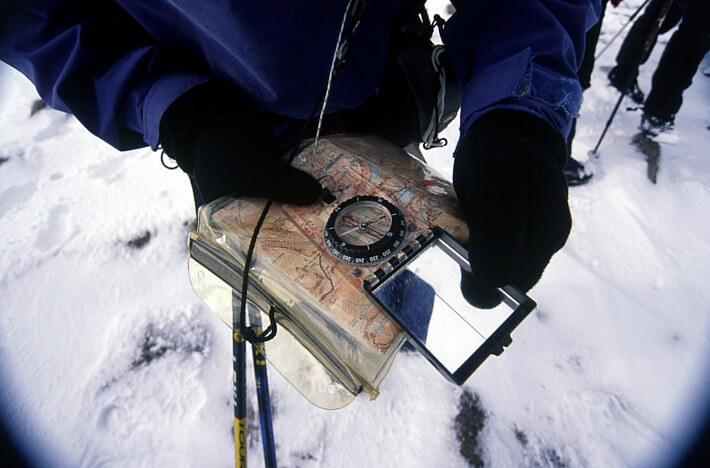
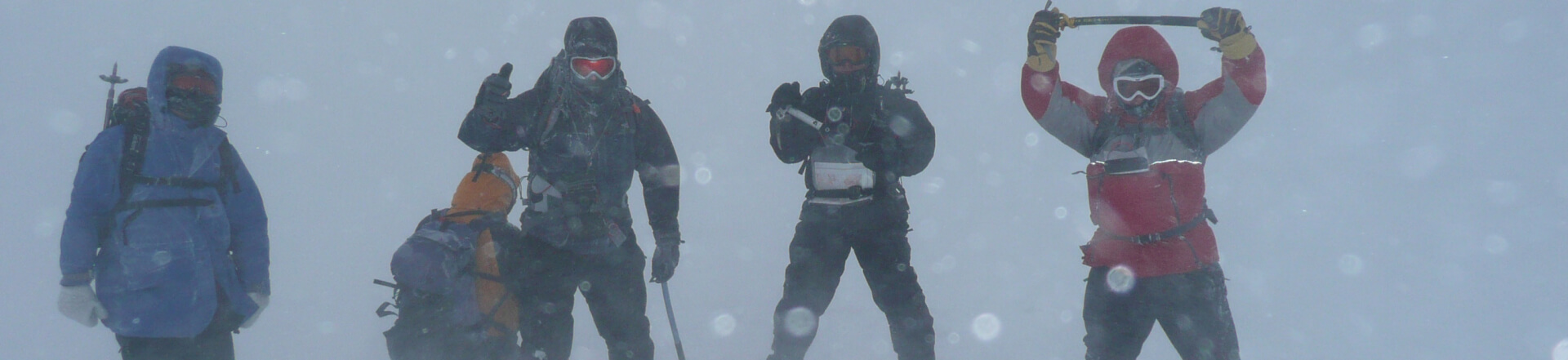
Dachstein mitts don’t necessarily mean that you won’t be able to use a compass or to navigate, as shown by our director Andy Bateman
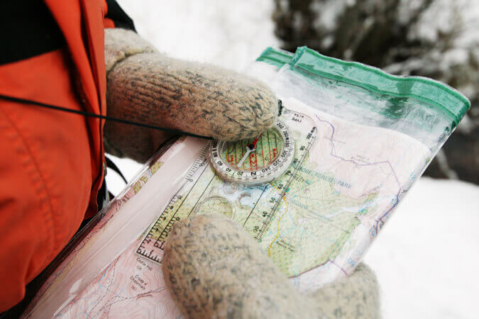
In winter whiteout conditions where you are, let’s say making a descending traverse, where you have no horizon and loose the definition of slopes and other features, it can be very difficult to stay on a compass bearing. But again it may be a change in the gradient or slope aspect which maybe the first (and maybe only) indication that you have drifted off your compass bearing. Bad visibility of course encourages you to abandon any attempt at interpreting the lie of the land. This is the last thing you want to do and it’s even more important that you keep a close eye on the terrain.
Test your limits, within your means
Conclusion for understanding navigation – Contour interpretation is king
It all comes back to you contour interpretation. This is the crux of good mountain navigation and around which all the other navigational skills like compass bearings fit and relate. Of course this all makes perfect sense when you consider, by definition, mountains are composed of slopes and in turn those slopes must have an aspect and gradient. It is very important that all the various navigational skills and techniques are related to each other and not taught in isolation. One of the common points of failure on Summer ML assessments is when candidates place an over reliance on compass bearings and timing and pacing techniques and don’t develop their contour interpretation skills. Your “dead reckoning” skills are of course important and you would never be without you compass on the hill but they are in effect auxiliary skills, albeit very important ones, to your contour interpretation.
Andy Bateman, Scot Mountain Holidays, 26/3/15. (updated 14.01.2020)
Useful books:
Mountain Navigation by Peter Cliff:
Weather for Hillwalkers and Climbers by Malcolm Thomas
Mountaincraft and Leadership by Eric Langmuir
Hillwalking the official handbook of the mountain leader by Steve Long
Winter Skills: Essential walking and climbing techniques by Andy Cunningham
Useful links:
Mountaineering Council of Scotland:
British Mountaineering Council:
British Association of International Mountain Leaders:
Mountain Training Association: