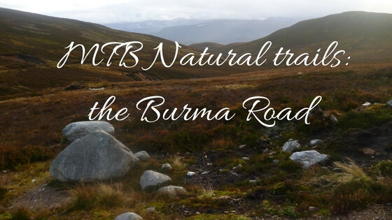
Burma Road: Natural MTB Trails in the Cairngorms
Burma Road: Natural MTB & Gravel Adventure in the Cairngorms
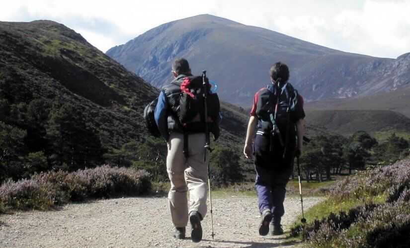
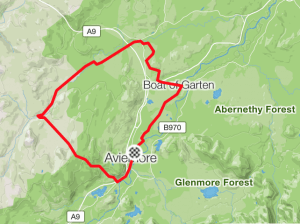
Looking for a rewarding and scenic mountain biking route in the Cairngorms National Park? The Burma Road is a local classic—and for good reason. Combining wide Highland views, a challenging ascent, and flowing countryside tracks, this 26-mile loop is a must-ride for adventurous cyclists. It’s suitable for both mountain bikes and gravel bikes and can be tackled straight from the doorstep of Fraoch Lodge, your base in Boat of Garten.
The Burma Road route is a fantastic way to see spectacular views of the Cairngorms and the picturesque countryside of the National Park. Graded hard and requiring a high fitness level to complete, this 26-mile cycling route is achievable in four to five hours.
Trekking over a mixture of tarmac, dirt, grass and rocky tracks makes sections of the trail challenging. And with a three mile extremely steep climb the initial part of the route can come across as particularly challenging. But, overall it is worth the initial exertion.
🚴♂️ Route Summary
-
Distance: 26 miles / 41 km
-
Ascent: 2123 ft / 647 m
-
Time: 4–5 hours cycling time
-
Grade: Hard (fitness and bike handling required)
-
Bike type: Gravel or mountain bike
-
Best ridden: Late spring to autumn, when trails are dry and views are clearest
-
Approx. calorie count: 1800 kcal
Scot Mountain Holidays route
Starting from Fraoch Lodge
The adventure begins right outside Fraoch Lodge, with a pleasant 6-mile warm-up ride to Aviemore, winding through moorland and pine forest. From there, follow the main road through Aviemore and across the A9 to begin the official Burma Road loop.
We can help with maps, gear checks, and even bike hire or guiding if you’d prefer extra support.
Once reaching Aviemore it’s as simple as following the main road through town, crossing the A9 and following a single tarmac road to the Scripture Union Centre at Alltnacriche. Having followed the route through a forest gate this is where things begin to get difficult.
🧗♂️ The Big Climb
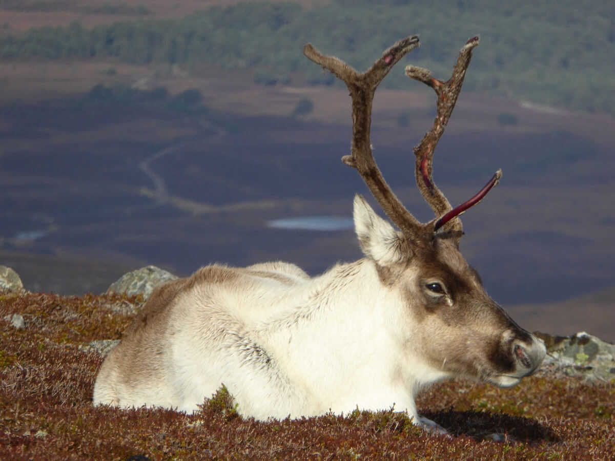
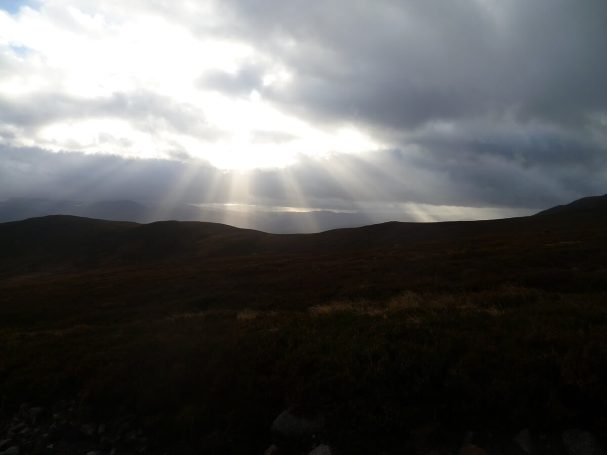
Brace yourself—the first real test is a 3-mile steep climb beginning near the Scripture Union Centre at Alltnacriche. Even seasoned riders often hop off and push sections of this brutal gradient. But perseverance pays off: the higher you climb, the broader the views stretch, with the Cairngorm mountains unfolding behind you.
Don’t forget to pause, catch your breath, and soak in the scenery.
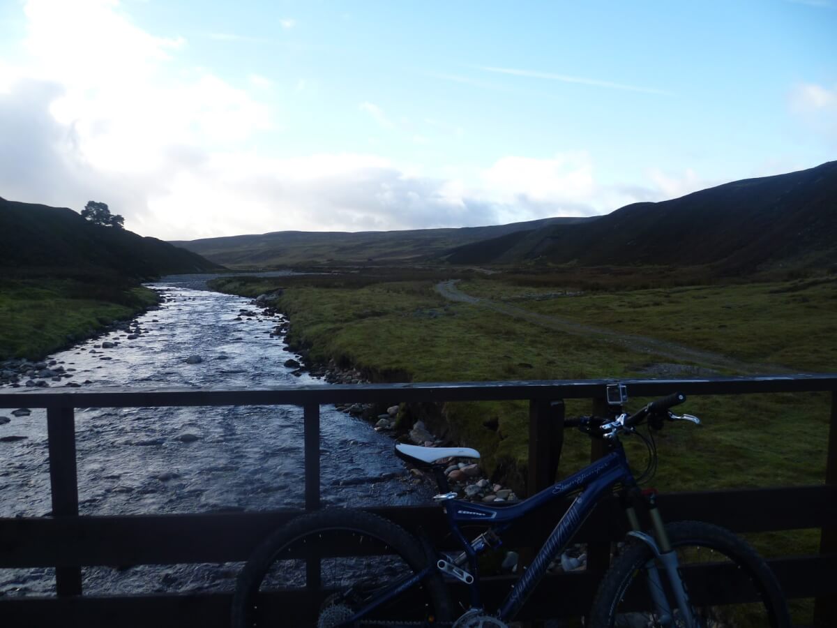
🪨 The Descent & Countryside Riding
After reaching the high point, you’ll descend a rough, loose track with gravel and erosion channels that demand focus and steady control. Once you reach the bridge at the base, the trail levels and transitions into a more leisurely spin through Highland farmland and riverside paths.
Expect some boggy patches, grassy tracks, and a few gates, but this section is pure joy—especially with the hard climb behind you.
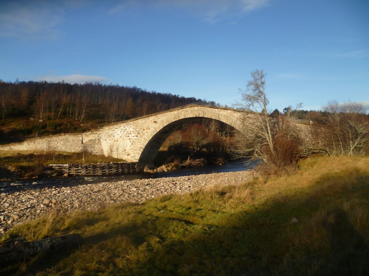
🏰 Detour: The Sluggan Bridge
Once back on tarmac en route to Carrbridge, a 1-mile detour to Sluggan Bridge offers the chance to see an 18th-century arched bridge in an atmospheric setting. A photo opportunity not to be missed!
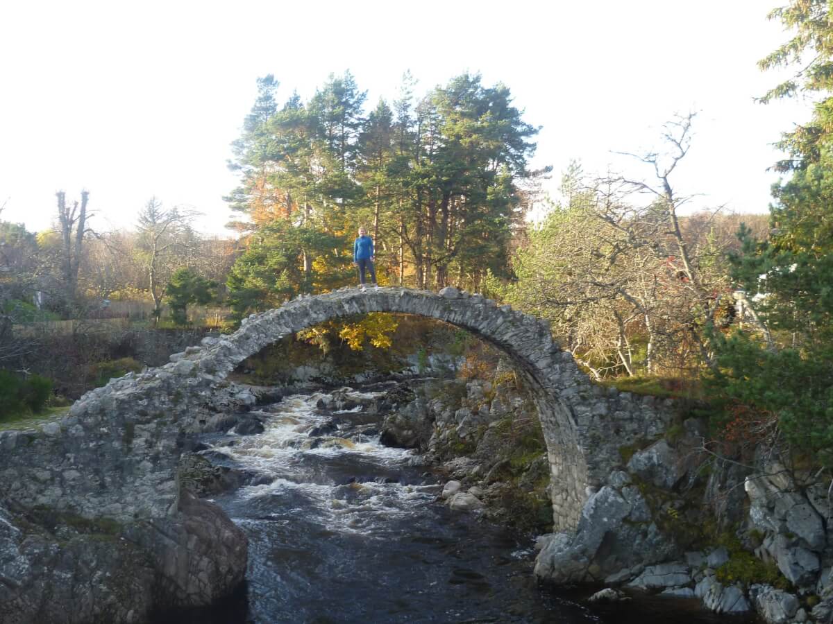
In Carrbridge, reward yourself with a well-earned pint and a snap of the iconic packhorse bridge, before heading the final 5 miles back to Fraoch Lodge via the signed National Cycle Route 7.
🛠️ Route Tips & Essentials
-
Fitness required: High
-
Bike type: Mountain or gravel with good tyres and gears
-
Water & snacks: Bring your own; no services on route
-
Weather: Check the forecast—conditions can change quickly
-
Navigation: You can download the route on Komoot but we highly recommend carrying an OS paper map as a back up in case of any phone failures. Always best to download your map on your phone, especially in more remote areas with intermittent or non-existent phone signal.
-
Phone signal: Intermittent, especially on the high section
-
Bike facilities at Fraoch Lodge: Secure storage, repair tools, drying room, packed lunches, and a hearty dinner to come home to!
🌿 Why Ride the Burma Road from Fraoch Lodge?
-
No need for a car—ride out straight from your accommodation
-
Stay in a cycling-friendly lodge with route support and local knowledge
-
Relax post-ride with home baking, hot showers, and mountain views
-
Extend your stay with more Cairngorm rides like Glenmore Forest, Ryvoan Pass, or Speyside Way
External links:
More pictures and description of the route from Dave Banks
The route reviewed in The Herald newspaper