

This website uses cookies to improve your experience. We\'ll assume you\'re ok with this, but you can opt-out if you wish. Read More
In case of sale of your personal information, you may opt out by using the link Do Not Sell My Personal Information
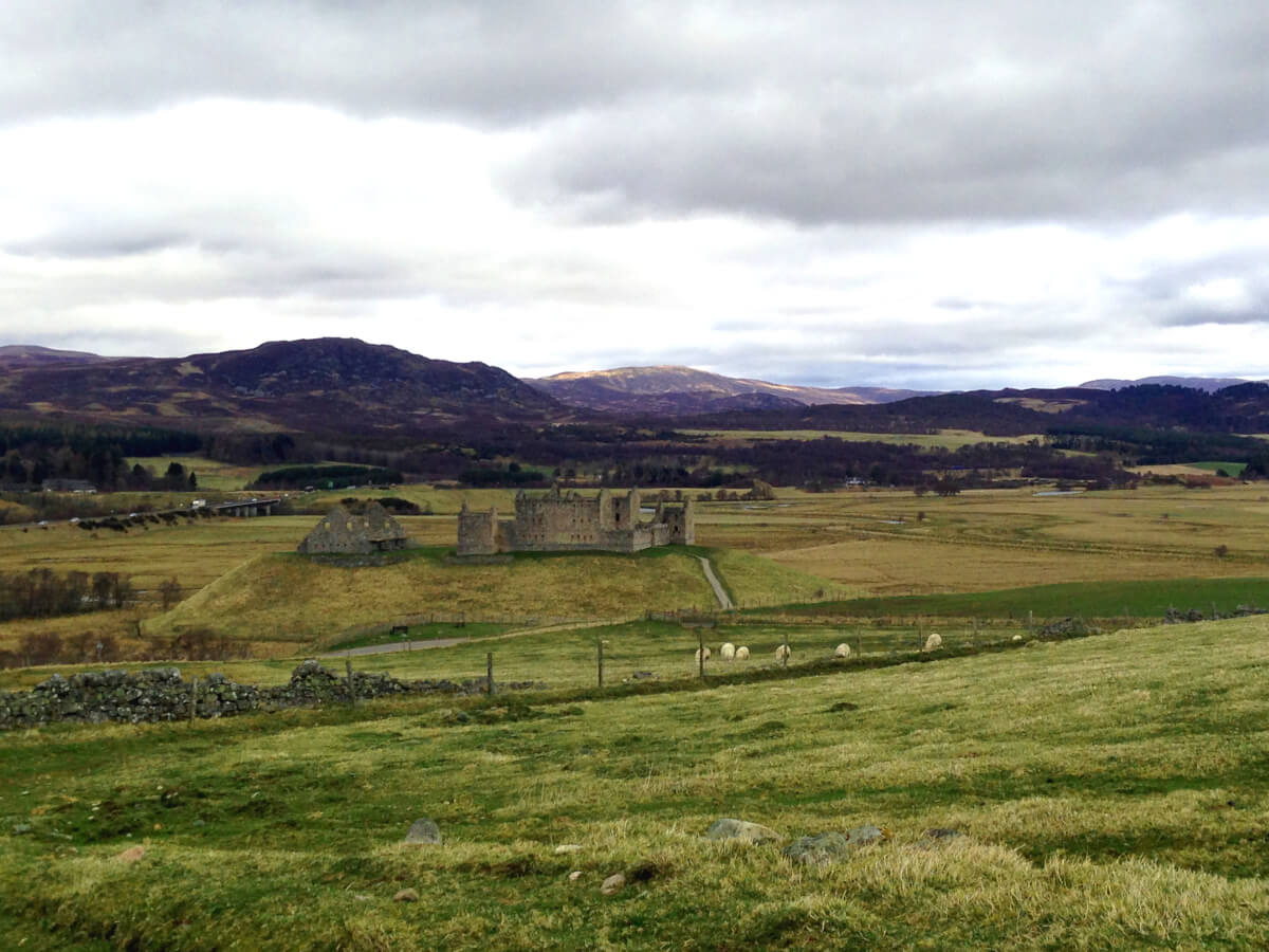
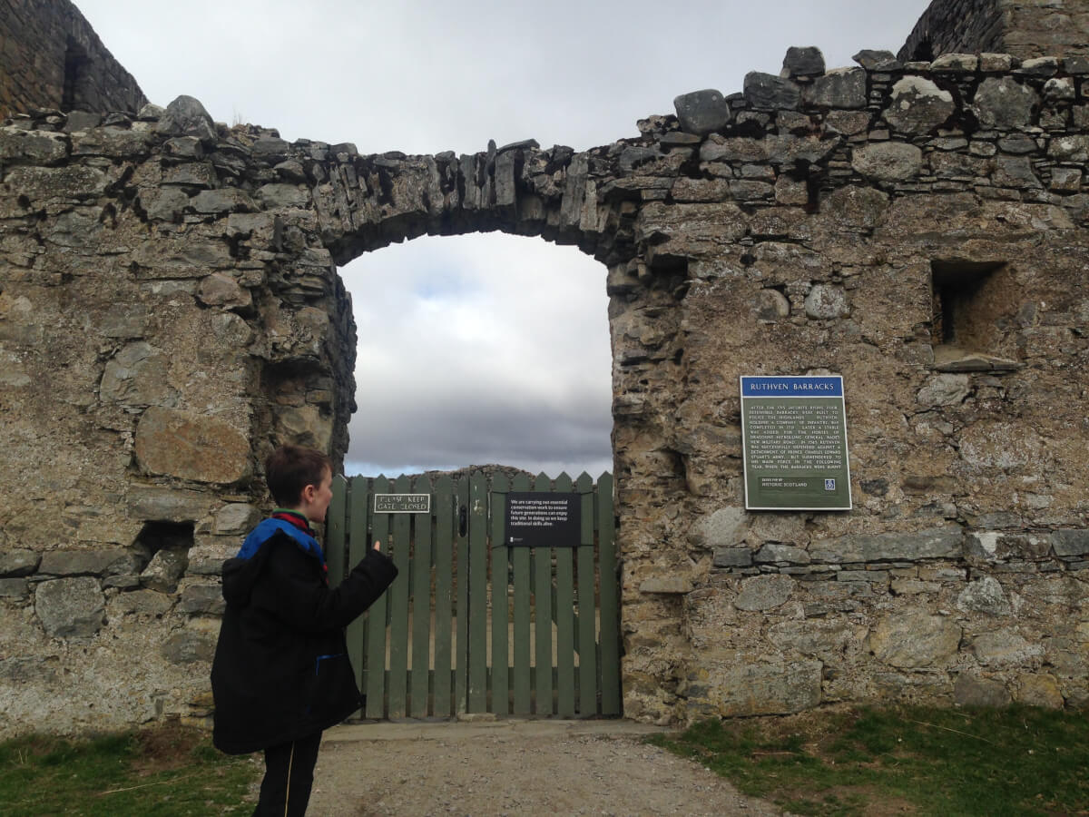
Even today, many walks in the Highlands of Scotland have a historical focus. Ruthven barracks stands abandoned on a hill surrounded by the nature reserve of Insh Marshes. It serves as a monument to the last major civil uprising and pitched battle on British soil. It witnessed both Jacobite success and Jacobite failure. This is where the last remnants of the Jacobite forces regrouped after the battle of Culloden, preparing the make a last stand – only to hear that they had been deserted by their commander in chief – Bonnie Prince Charlie.
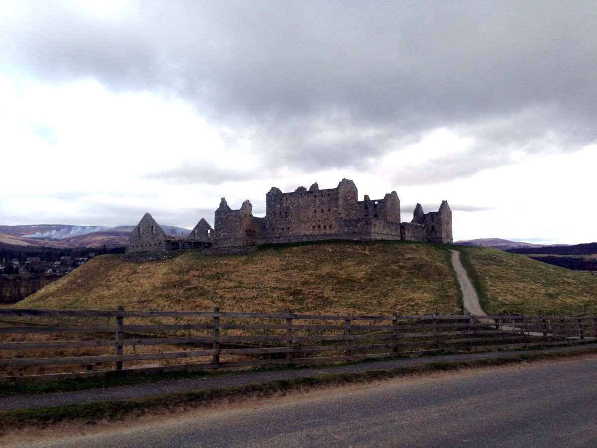
The barracks were built after the 1715 rising to control the Highlanders but were attacked and taken by the Jacobite rebels led by Bonnie Prince Charlie in 1745. The site itself has a much longer history than this but there is not much evidence now of it’s previous history.
Park in the parking area for Ruthven Barracks. At the top of the car park there is a farm gate which you need to go through to access the track. Follow the track up and bear right behind a stone wall, following the grassy track upwards.
Continue ahead as the track heads upwards and passes between 2 small hills. When you see the track heading towards the right to a ruined house, continue straight ahead passing a tree on the right. At this point you’ll need to go through a wooden farm gate before heading onto the open moorland ahead. Follow a wee path, much less distinct than the previous track. The path will continue across grassy and heathery ground to a more distinct tract rising diagonally across the wee hill opposite. The ground here can sometimes be wet.
Cross a small stream here on the stepping stones and join a wider path heading up the hill and slightly to the right. The path climbs gently but doesn’t quite reach the summit of Beinn Bhuidhe (yellow mountain). You’ll get a good view of Kingussie behind you from this point.
For a relatively short distance here the path is very boggy and waterlogged. If you manage to bypass it without getting wet feet, you’ll be doing very well. The boggy ground seems to cover the whole area. You’ll also probably need to keep to the heather at the side of the path in places in order to keep your fft dry. After a while the path will more indistinct but is marked by a series of stone cairns. At this point you’ll pretty much be at the high point and will have views down the other side of the hill you’ve been climbing.
Just before you go into the Woods of Glentromie, you’ll have to climb a high stile over a deer fence.
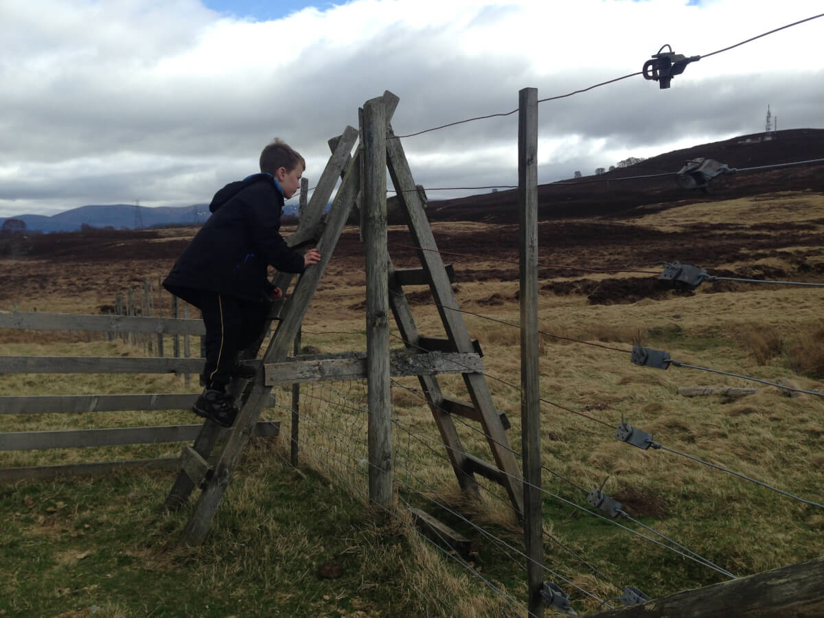
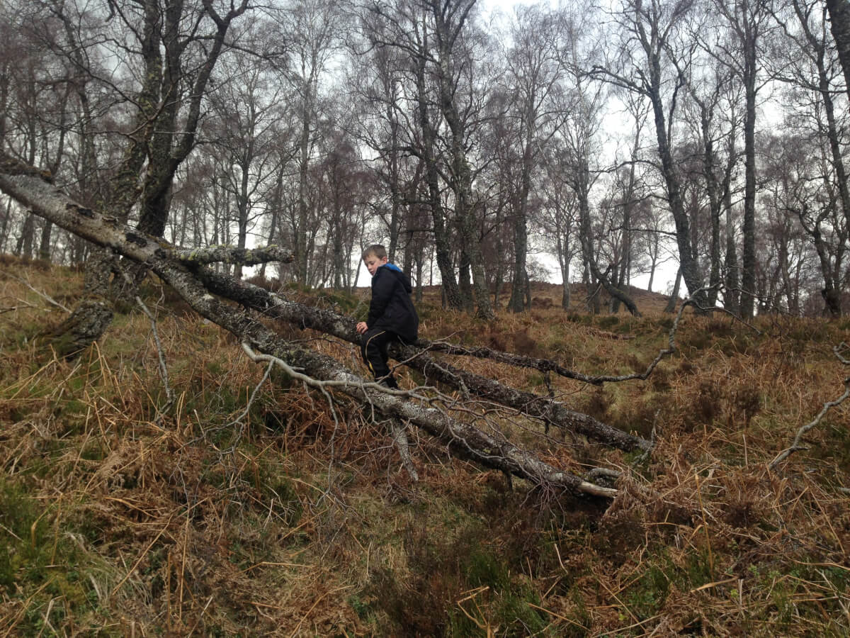
Cross this stile and follow the path into the woodland, which makes a nice change from the moor and heather you’ve been walking through up until this point. The path weaves downhill and can be wet at times. You’ll also need to bypass a couple of fallen trees at points.
Eventually the path reaches a smaller stile and then goes left and crosses a larger stile to emerge onto a road. Turn left and follow the road past a house and over the River Tromie.
After the bridge turn left and follow the road down Glen Tromie eventually reaching the B970 at Tromie Bridge.
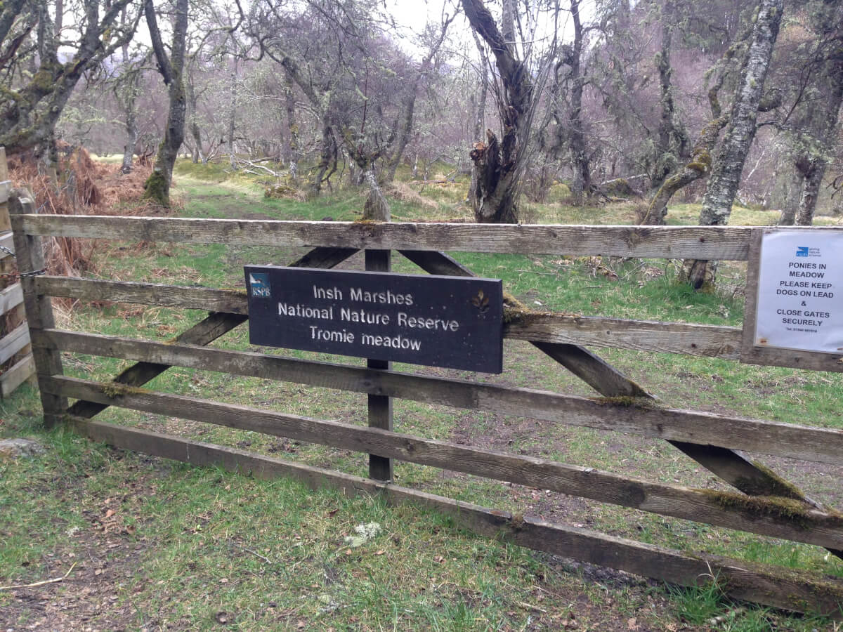
Turn left at the road and cross the bridge. Immediately turn right through a wooden gate into the RSPB reserve Tromie Bridge Meadow. This makes up part of the long distance route, the Badenoch Way. This section of the route follows markers with white circles. The route follows a grassy track through woods and then around the edge of the meadow next to the River Tromie.
Tromie Mills, a very well-kept distillery is visible on the other side of the river, but you never really get a good enough view from the path for a particularly good photo. Climb up a gentle bank and pass through a kissing gate marked nature trail. Follow the path next to a wall and then turn left uphill following the white markers.
You’ll cross some sparse birch woods with heather underfoot on a clear path along a small ridge. It’s a delightful section of the route. Keep following the white circular markers and pass through another kissing gate.
Turn right at a small marker post and then cross a vehicular track and go through a small gate. Continue on the path and pass through another gate and you soon reach a sign where you can make a diversion to a good viewpoint and picnic area.
To continue on the trail turn left at this sign and follow the path as it contours along the edge of the higher ground above the Insh Marshes. It passes through a gate and over a footbridge just after the diversion down to Invertromie Hide. Just before the carpark there is an information centre about the birdlife on the reserve. Continue down to the parking area and turn left and left again to emerge onto the B970.
If you are following this route as part of our self-guided itinerary (it is not currently one of the selected routes but is an optional extra), we will arrange to pick you up at this car park at the designated finish time and return you to Fraoch Lodge for tea and cake before relaxing and enjoying a lovely evening meal with us.
If you are walking this route independently you will still have a hike of 1km along the road back to the Ruthven Barracks car park.
http://www.castlesfortsbattles.co.uk/highland/ruthven_barracks.html
http://www.undiscoveredscotland.co.uk/kingussie/ruthvenbarracks/
https://www.historicenvironment.scot/visit-a-place/places/ruthven-barracks/
http://www.bbc.co.uk/history/scottishhistory/union/trails_union_ruthven.shtml
When you go out for a hike on your own in a new area, you will almost certainly admire the views you see. You’ll probably stop to admire any pretty buildings you see and you may also see some of the local wildlife; but what you’ll probably miss are the local stories which make the area come alive to you. You might not see the wildlife and you might not be able to identify the carnivorous plants or useful herbs. (There are plenty of useful plants which grow wild on the mountainside, like thyme) If you pick a local guide with a lifetime’s interest in the outdoors, all this will be part of the story he can pass on to you during your excursion into the outdoors.
A guide who lives in the area you want to explore is likely to know wee titbits of information relating to local history, gossip, nature, geology, plants etc that you may well not know yourself. All this information helps to bring alive the walk.
From Tripadvisor:
“Our recent trip to the Scottish Highlands exceeded my expectations. Prior to our trip we contacted Scot Mountain Holidays to create a one day hike for our family based on the current weather conditions and our fitness level. Andy was a wealth of knowledge on so many topics which added interest to the hike – geography, history, botany, cuisine, etc. We foraged our way through the forests, heather fields, and mountains. It was truly the highlight of the trip. Andy and Rebecca are lovely people who shared a part of their world with us and I am grateful!!”
One of the most frequent comments, our guests make on their departure is: “Haven’t we been lucky with the weather!” Have they been lucky? Were their expectations very low to begin with? Or was the guide working hard to judge the weather conditions and relate them to his experience so that he could adjust the routes and plan the best day possible for his group?
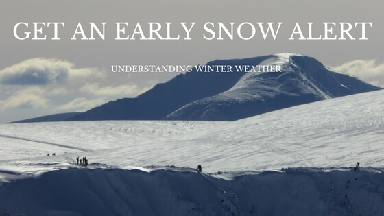
Andy spends a huge amount of time analysing the forecasts. Check out his blog on how to predict snow, which is all part of his extensive collection of weather research.
We’ve been hiking in several different areas in different countries of Europe and the one thing they all seem to have in common, is the high level path waymarks and sign posts. Here in Scotland, however, history has dictated differently. In Europe, high land has not been greatly prized and has historically been used as common grazing in the summer months. As it has not been privately owned, it has been easy to develop a well marked system of walking routes throughout.
In Scotland, however, most land is privately owned even high in the hills therefore the bureaucracy involved with establishing paths and putting in signage has kept the signage to a minimum. Walkers and climbers are all expected to take suitable maps and a compass with them when they go out in the hills. Do not rely on being able to see the path on the ground or in seeing a sign to indicate how far you have to go.
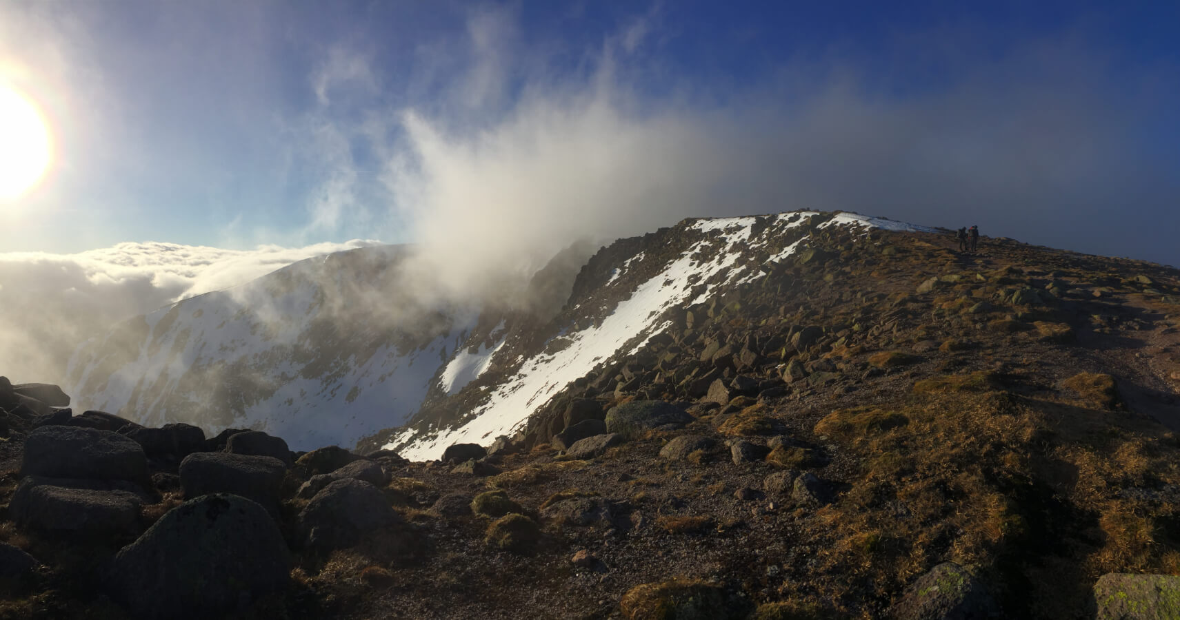
The weather is a feature of many conversations in the UK, and particularly in Scotland. Many foreigners from continental climates can’t understand our fascination – but then they have relatively stable weather patterns and don’t tend to experience 4 seasons in one day. This is a phenomenon peculiar to maritime climates. It can happen anywhere here, but particularly in the mountains. This can mean that even though visibility is good when you begin your route this might not remain the case all day.
If you’re not confident about your navigational abilities this may mean that you don’t go across the high mountains. However, if you hire a guide, the navigation becomes their responsibility as it is also their choice of route (within your aspirations). They are better able to pick a walk which will make the most of the prevailing weather and safely take you to the higher peaks where the best views are to be had.

Most guides have an amateur interest in geology as well as their professional qualifications. They are all interested in their outdoor surroundings. Andy, our director and main inspiration behind the routes on our holidays, is particularly interested in geology. He can always find an explanation for the form of mountains; the make up of the rocks etc
Most hikers are confident about going out on clearly marked paths, which are more often than not in the more popular hiking areas. However, it is not so easy, particularly if you are not familiar with the area to pick the best routes for the limited time you have, unless you are particularly good at map reading. A guide will have intimate knowledge of the local surroundings and is probably able to find you a spectacular route where you are unlikely to see a single other hiker during your entire day out. We like to pick routes for our guests where they see unexpected views and have memorable and unique experiences: as is said, one never walks the same route twice, as the changes in weather, fauna, light, season etc all come together to produce a unique environment every time.
A guide is professionally qualified to cope with hazards outdoors. He or she undergoes first aid training which is renewed every 2 years to keep their knowledge current. Having a guide with you is like having a first aider, risk assessor and professional mountaineer with you all in one person
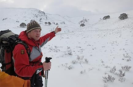
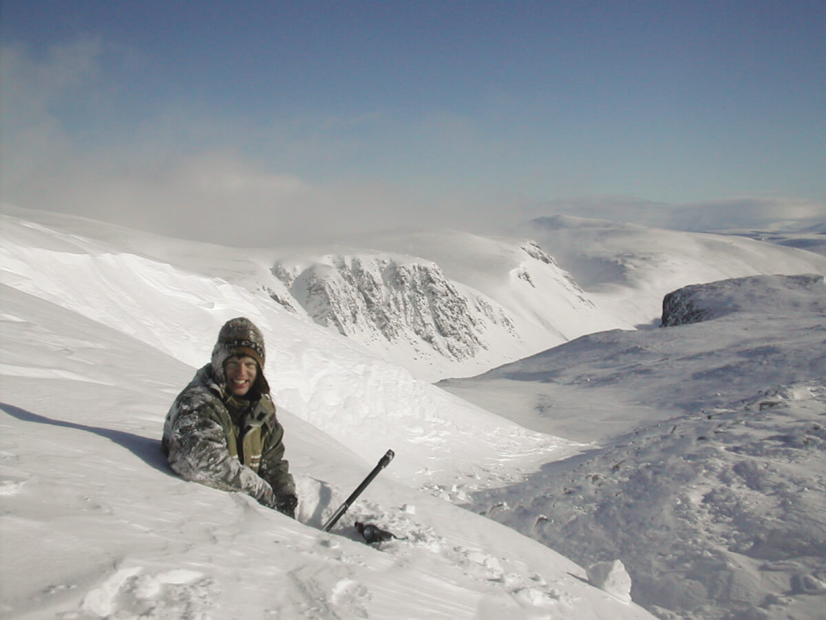
If your guide lives in the area you are intending to visit in winter, they are likely to have one the ground knowledge of snow conditions. This kind of local knowledge is difficult to convey even with today’s modern communications. With experience, guides who live in the area are able to pick the best spots for snow and ice conditions, even in lean periods. Winter 2017 was a very lean year but we still ran 4 snowhole expeditions and never had to retreat due to thin conditions. Admittedly Andy did make some reconnaissance walks to check the snow depth prior to going out, but he was still able to deliver all the booked trips.
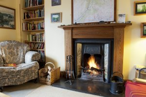
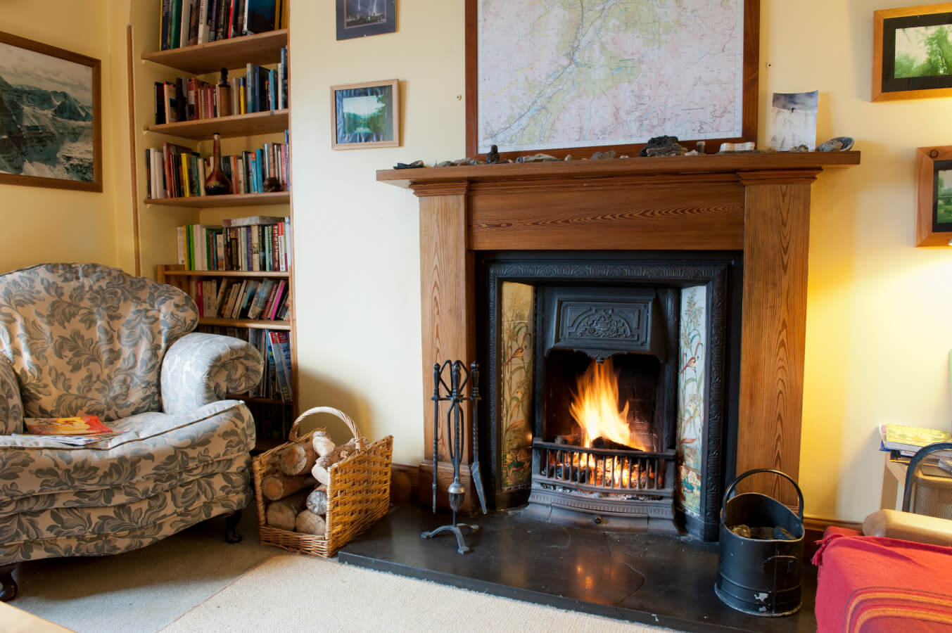
Fraoch Lodge
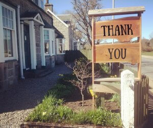
We want to send a big thank you to everyone who participated in our latest contest and helped make it a success! In the end, we had over 300 entrants which was a fantastic result. We also received valuable feedback from the entrants which will be put to good use.
And a special congratulations to Diane Smith, the winner of our Gentle Giants Giveaway Contest. Congrats also go out to Claire Waugh and Clint Dillon for winning the runner up poster prize of the impressive panoramic view of the Cairngorms National Park.
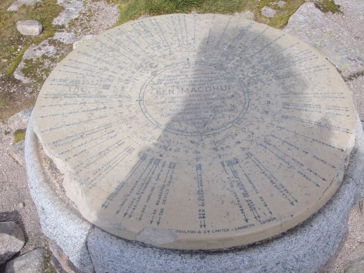
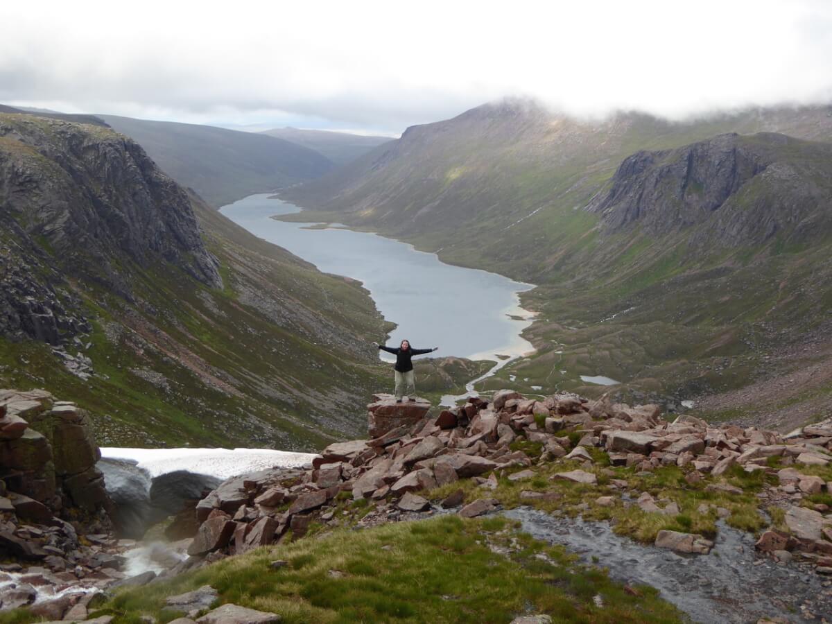
The Gentle Giants Trip is a great opportunity for Diane Smith and their ‘plus one’ to bag a couple of Munro’s on their guided walking weekend with our very own Andy Bateman. Andy will safely lead the way, sharing his years of in depth knowledge of the area and its natural terrain. On this particular trip, the Munro’s ascended will be Ben Macdui and Cairn Gorm in Cairngorms National Park. Did you know that a mountain has to be at least 3000ft in order to qualify as a Munro? And did you know that Ben Macdui is the second highest mountain in the British Isles after Ben Nevis in Fort William?

Not only will Diane have a full weekend of walking, but they will take in some spectacular views on the way, such as Loch A’an as they ascend Ben Macdui…
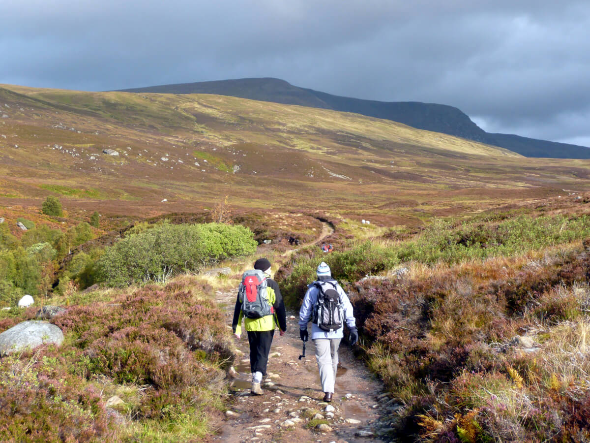
Diane will have a delightful view of The Lairig Ghru (with the local pronunciation “Laarig Groo”). It is a spectacular mountain pass through the Cairngorms of Scotland. Historically used as a route between Deeside and Strathspey, in particular, a drove road for taking livestock on foot from one place to another.
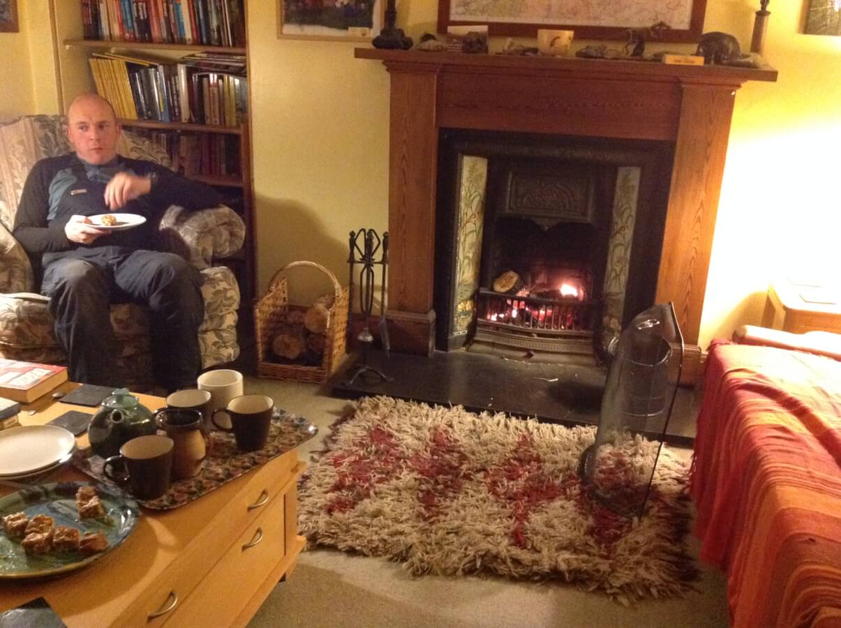
And it doesn’t stop there. After an active day out on the hill, Diane and company get to put their feet up at Fraoch Lodge and enjoy a cuppa and cake o’clock which always goes down a treat. Tidying them over until it’s time for a delicious and hearty home cooked supper to set them up for the following days adventure.
All in all, the competition was such a success that we’ll be holding them more frequently. You’ll have a chance to enter to win our next giveaway coming soon 🙂 We look forward to welcoming …….. to the Scottish Highlands to enjoy their prize.
Walking is one of the best forms of exercise being gentle, easy and free. It’s something everyone can do, and extremely beneficial to your wellbeing. So, it’s no wonder masses of people are beginning to introduce walking to their daily lives. But to keep the habit up it’s important to ensure you’re not letting your walking become a chore. So to avoid this, try these easy steps to turn a walk into an adventure.
Walking has been proven to assist you in maintaining a healthy weight, prevent or manage various conditions including heart disease and high blood pressure and additionally, it strengthens your bones and muscles. Not only this, but it’s extremely positive to your mental wellbeing. And, it’s a great excuse to take some time for yourself.
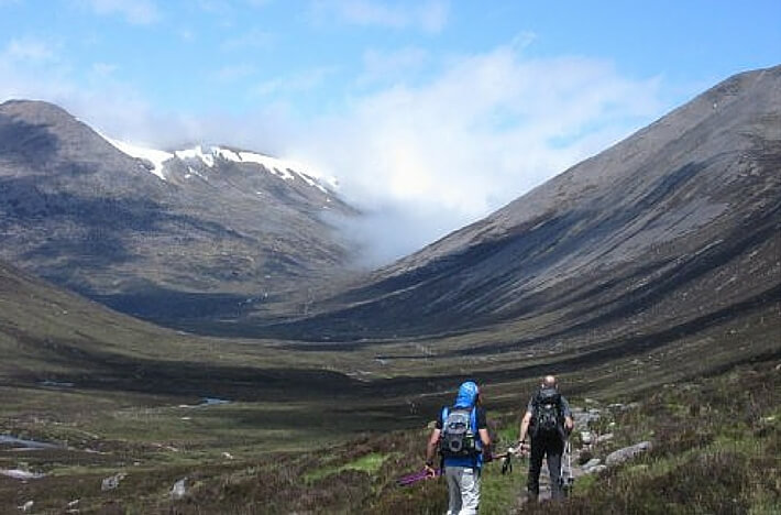
Firstly, it’s time to get off the beaten path. Head away from the pavement and hit the trails. The Cairngorm National Park is full of gorgeous forest, river and mountain walking so you’re rich for choice.
Once you’re away from the roads, and traffic of the world, take some time away from technology. Leave your phone at home, turn the music off and appreciate the beauty of nature. This will not only be a refreshing break and an opportunity for you to restart. But, you will find yourself so much more connected to nature, and you’re much more likely to spot wildlife and fauna. This will add a level of appreciation, and excitement to your walks.
This goes hand in hand with switching off. If you have some sense of direction, try to avoid planning out your route prior to your walk. Follow your instinct, keep things fresh and go somewhere new each day. Making a split second decision at each fork you come to, will add a sense of exhilaration to your walking adventures.
These three easy to do steps will be just the thing to turn your walking into memorable adventures.
![]() Scot Mountain Holidays (Ltd),
Fraoch Lodge, Deshar Road,
Boat of Garten,
PH24 3BN
Scot Mountain Holidays (Ltd),
Fraoch Lodge, Deshar Road,
Boat of Garten,
PH24 3BN


All content © Copyright Scot Mountain Holidays 2026
Responsive web design by Summit Web Solutions